service
Work Planning

Deploy enterprise UAV services for mapping, inspection, and operations with mission planning, compliant workflows, and actionable data.

process
Aerial Mapping & Survey

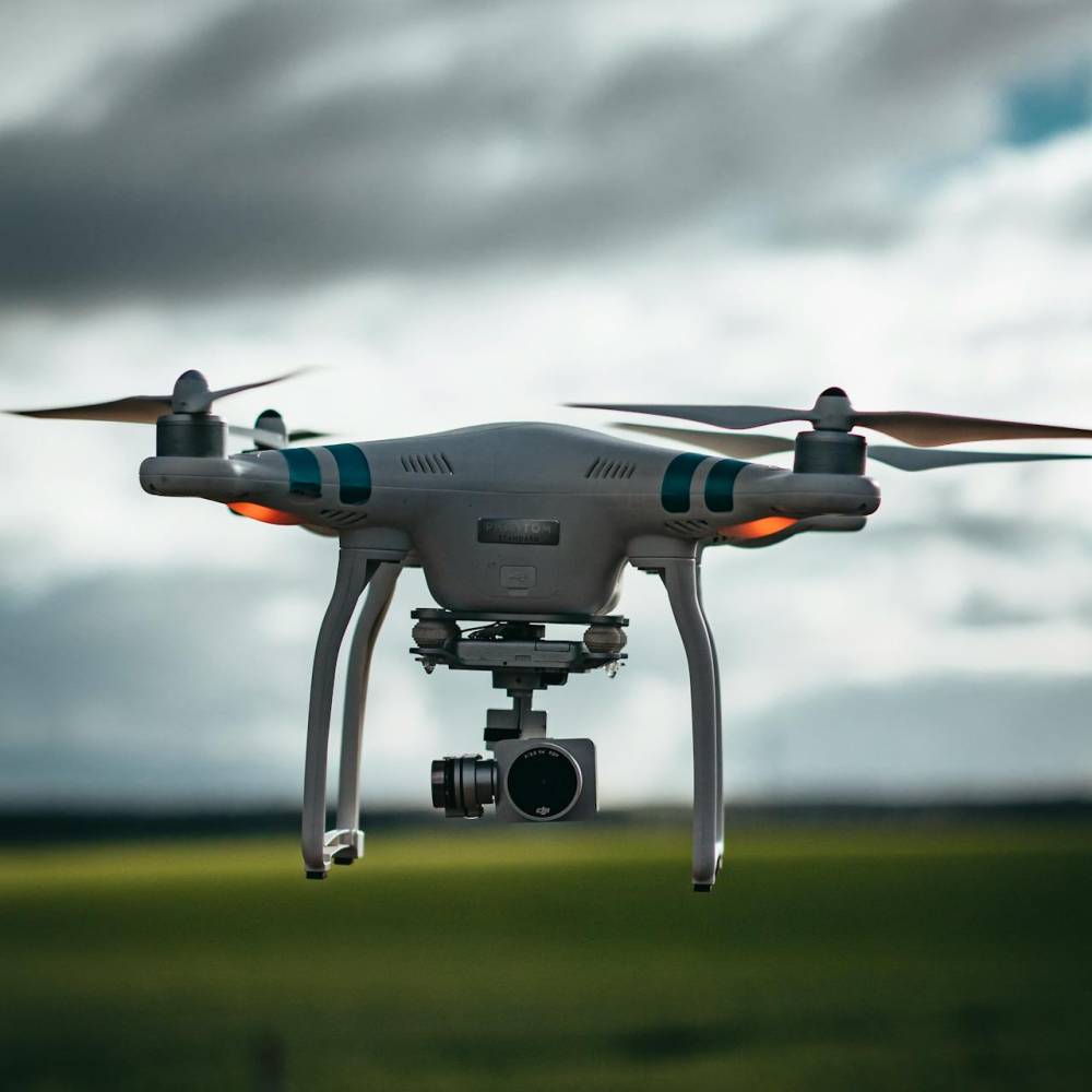
Capture high‑resolution imagery for orthomosaics, terrain models, and 3D reconstructions using photogrammetry and LiDAR for fast, accurate site insights.

Mapping Photogrammetry LiDAR
Asset Inspection

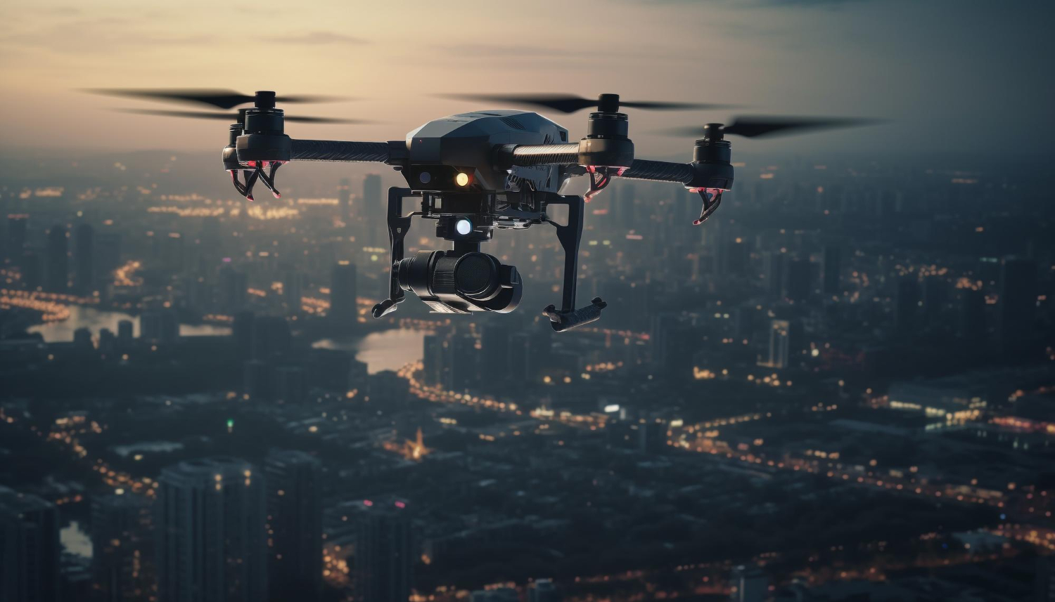
Inspect utilities, solar farms, wind turbines, and structures with RGB/thermal payloads to detect faults, reduce risk, and minimize downtime.

Inspection Thermal Safety
Operations & Security

Enable perimeter patrols, incident response, and situational awareness with live video, streaming telemetry, and automated mission routines.

Security Live Ops Automation
Mission Planning & Control

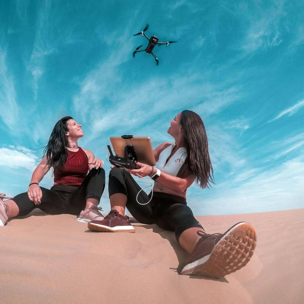
Plan waypoints and flight profiles, manage geofences, sync logs, and monitor fleets via ground control and cloud dashboards for traceable operations.

Mission GCS Telemetry
Data Processing & Analytics

Convert flights into maps, 3D models, and reports; integrate with GIS, BIM, and asset systems to turn aerial data into measurable KPIs.

2D/3D Dashboards Integrations
Compliance & BVLOS Readiness

Establish compliant workflows, Remote ID, and waivers; design comms and DAA approaches to prepare for shielded EVLOS and BVLOS operations.

Compliance Remote ID BVLOS

Our Drones Frequently Asked Questions

We deliver end‑to‑end drone programs: platform selection, mission design, operations, data processing, integrations, training, and managed support.

Aerial mapping and surveys, asset and thermal inspections, security and live ops, precision agriculture, and custom mission workflows with reporting.

With proper flight design, RTK/PPK, and ground control points, drone mapping can reach survey‑grade accuracy for orthomosaics, DSM/DTM, and 3D models.

RGB, thermal/IR, multispectral, LiDAR, and specialty payloads; we select optics and settings for each mission and environment.

Missions use ground control software with waypoint planning, geofences, live telemetry, and automated logs for traceability and safety.

Operations adhere to national aviation rules, Remote ID where applicable, airspace authorizations, and documented SOPs for VLOS and BVLOS readiness.

Yes—platforms support rugged operations with redundant links, lighting, and thermal payloads; missions follow waivers and safety protocols as required.

Imagery is processed into orthomosaics, contours, volumes, and 3D meshes; results are delivered via dashboards or integrated into GIS/BIM systems.

Yes—pilot training, safety procedures, mission templates, and managed operations with SLAs for uptime, reporting, and compliance.

Construction, energy and utilities, mining, agriculture, public safety, real estate, and infrastructure management.

Based on mission type, area and deliverables, sensor payloads, airspace and compliance needs, timelines, and service level agreements.

Yes—integrations with GIS, BIM, asset and work‑order systems; APIs and secure data pipelines ensure seamless delivery and governance.

We design BVLOS‑ready architectures with comms redundancy, DAA strategies, and UTM workflows; execution depends on approvals and waivers.
faq

Book a Free Consulting

Plan a mission profile and compliance checklist; get a timeline and quote for mapping, inspection, or live ops with the right payloads.

Try it Now
script defer src="assets/js/plugins/swiper.js">